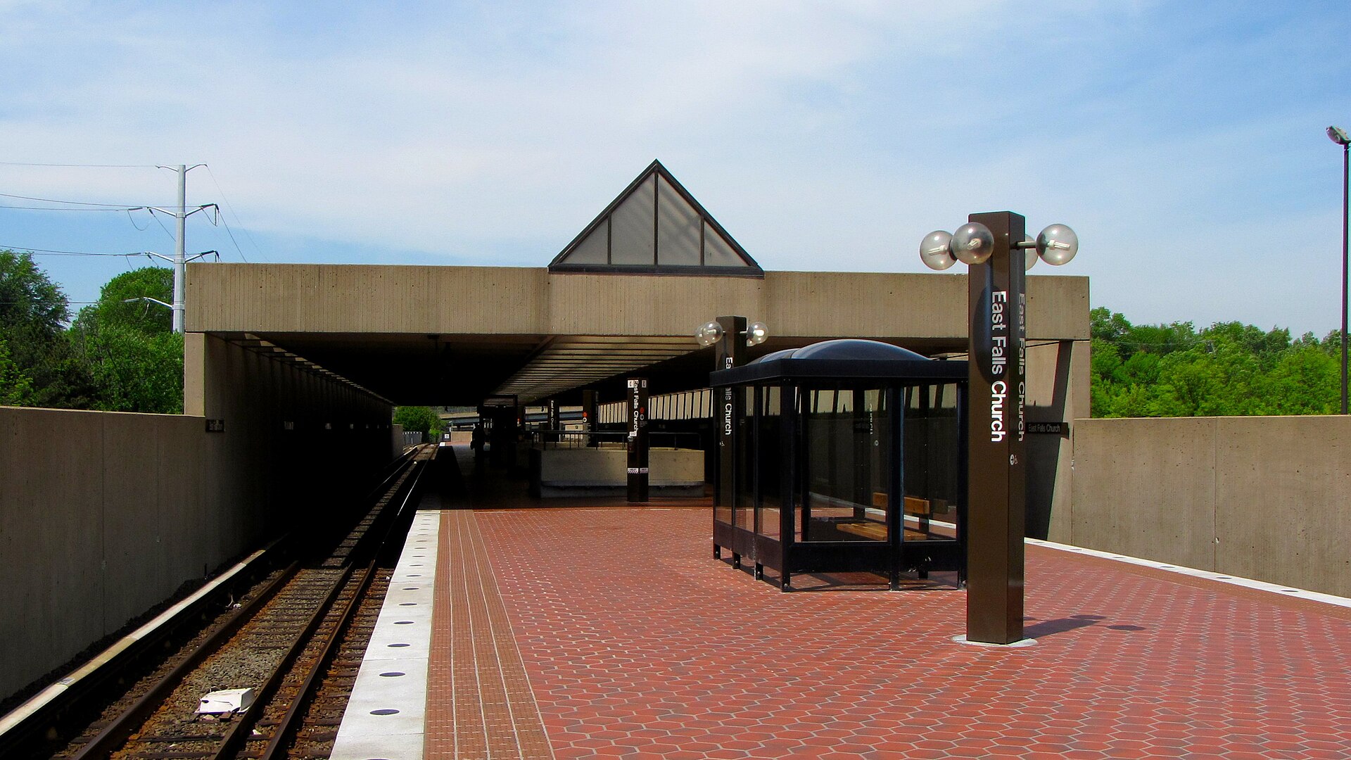
Use Orange or Silver Line service for trips through the eastern side of the Falls Church area. The station is in Arlington, so reaching a city restaurant or park still requires a final connection.
Plan the connection
Enter the destination address in the transit planner and compare walking and bus options. Check the station page for service notices and accessibility information before relying on a particular entrance or transfer.
Sources checked 2026-10-19.
02
Falls Church
West Falls Church Metro
Your options
Use the Orange Line station on the western side of the area when it gives the better connection to your destination. It is outside the independent city in Fairfax County.
Plan the connection
Compare the complete journey with East Falls Church rather than choosing by name alone. The station page provides current bus connections, parking and accessibility information; service details can change with maintenance work.
Sources checked 2026-10-19.
03
Falls Church
Public parking
Your options
Use the city’s public-parking information to identify spaces serving the downtown shops, restaurants and civic destinations. Planning one parking stop can make a short visit on foot easier.
Plan the connection
Read the signs at the actual space. Public access can depend on the garage level, weekday or time of day, and nearby private lots may have different restrictions from the city’s mapped parking.
Sources checked 2026-10-19.
04
Falls Church
W&OD local connections
Your options
Use the city’s W&OD access information to connect a bicycle or walking trip with neighborhood streets. Listed crossings include Little Falls, Great Falls, Oak, Spring, West, Grove and Broad.
Plan the connection
Choose your exit before setting out and check the remaining street route to your venue. The city trail page identifies racks and repair stations. As of October 22, 2026, the city lists crossing improvements at Grove Avenue and West Street for October–November 2026; check its Safe Streets page for current work, and NOVA Parks alerts for longer regional trips.