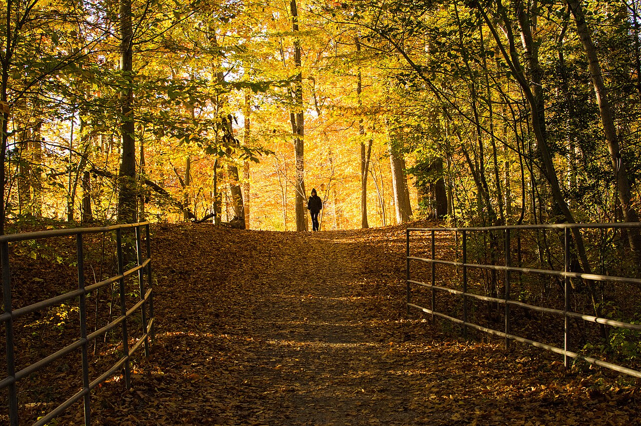
These selected destinations have source-verified coordinates. Pins identify places, not trail routes, parking permission or accessibility. Other entries retain their official access and address links.
Walk a four-mile natural-surface loop or choose a shorter lakeside visit. The park also has playgrounds and seasonal waterfront attractions.
Before you go
The dam section floods during rain and has no bypass. Turn back rather than assuming you can complete the loop; rides and rentals follow separate seasonal schedules.
Sources checked 2026-10-19.
02
Springfield
Hidden Pond
8511 Greeley Boulevard, Springfield, VA 22152
Go for
Quiet woodland, streams and a pond suit a slower walk and close observation. The nature center adds an indoor learning stop when available.
Before you go
As checked October 19, the site reports no power and phones down. Email FCPAHiddenPond@fairfaxcounty.gov for staff. Groups of 12 or more must arrange the required group fee.
Sources checked 2026-10-19.
03
Springfield
South Run Rec Center
7550 Reservation Drive, Springfield, VA 22153
Go for
Choose a public recreation-center session or class when the goal is exercise rather than an unstructured trail walk. Outdoor adventures operate beside the center.
Before you go
Fitness flooring work closes the upper level November 2–12 and lower level November 13–23, 2026. Match your visit to the facility schedule and applicable admission.
Sources checked 2026-10-19.
04
Springfield
Lake Mercer, nearby
Lake Mercer parking, 8854 Hooes Road, Fairfax Station, VA
Go for
A roughly 3.5-mile route follows this lake, with access on foot or bike from South Run. Most of the route is paved, with a natural-surface section.
Before you go
For parking, use 8854 Hooes Road; the gravel lot holds about ten vehicles, followed by an uphill walk to the dam. There are no restrooms or trash cans. The route has hills and mixed surfaces, with walking and cycling access from South Run.
Sources checked 2026-10-22.
05
Springfield
Cross County Trail
Go for
Use the Lake Accotink segment as a starting point for a longer trail outing. County trail maps help connect the park to the wider Gerry Connolly Cross County Trail.
Before you go
Choose your turnaround and access point before setting off. This is a connected countywide route with varied surfaces, not an extra short loop inside the park.