The local story
This is not a completed project, and construction on the proposed joint development has not started. WMATA is looking for a private development team to turn the bus loop and Kiss & Ride property beside Braddock Road Metro into a mixed-use place. Its request for proposals, released September 15, 2026, is the step that puts that opportunity in front of developers.
The interesting part is not simply the possible housing count. It is how much of the ground next to an operating Metro station is organized around circulating buses and short car stops—and how changing that layout could make room for homes, shops and public space without removing the transit functions that make the location useful.
The opportunity
A developer search, not a groundbreaking.
Joint development means private development on transit-owned land, coordinated with the station’s facilities. Metro prefers a long-term ground lease: it would retain the land while a selected team designs, finances and builds the project. The current process has not selected that team or approved its building architecture.
The solicitation also makes this a transit-infrastructure job. The developer would be responsible for replacement station facilities alongside the private development. A future Joint Development Agreement still requires Metro Board approval and Federal Transit Administration concurrence; City land-use approvals are another step.
The place today
A station surrounded by movement.
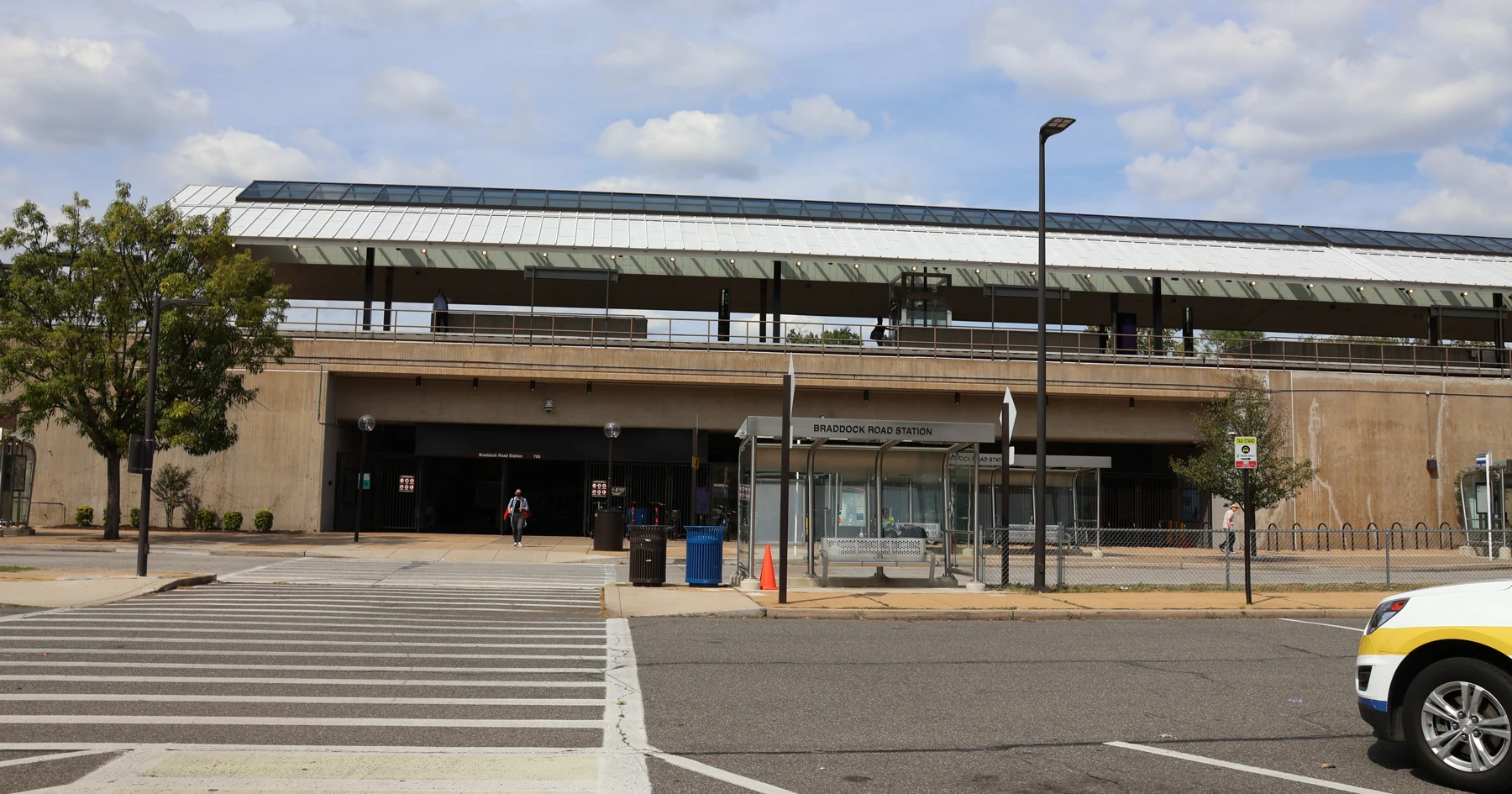
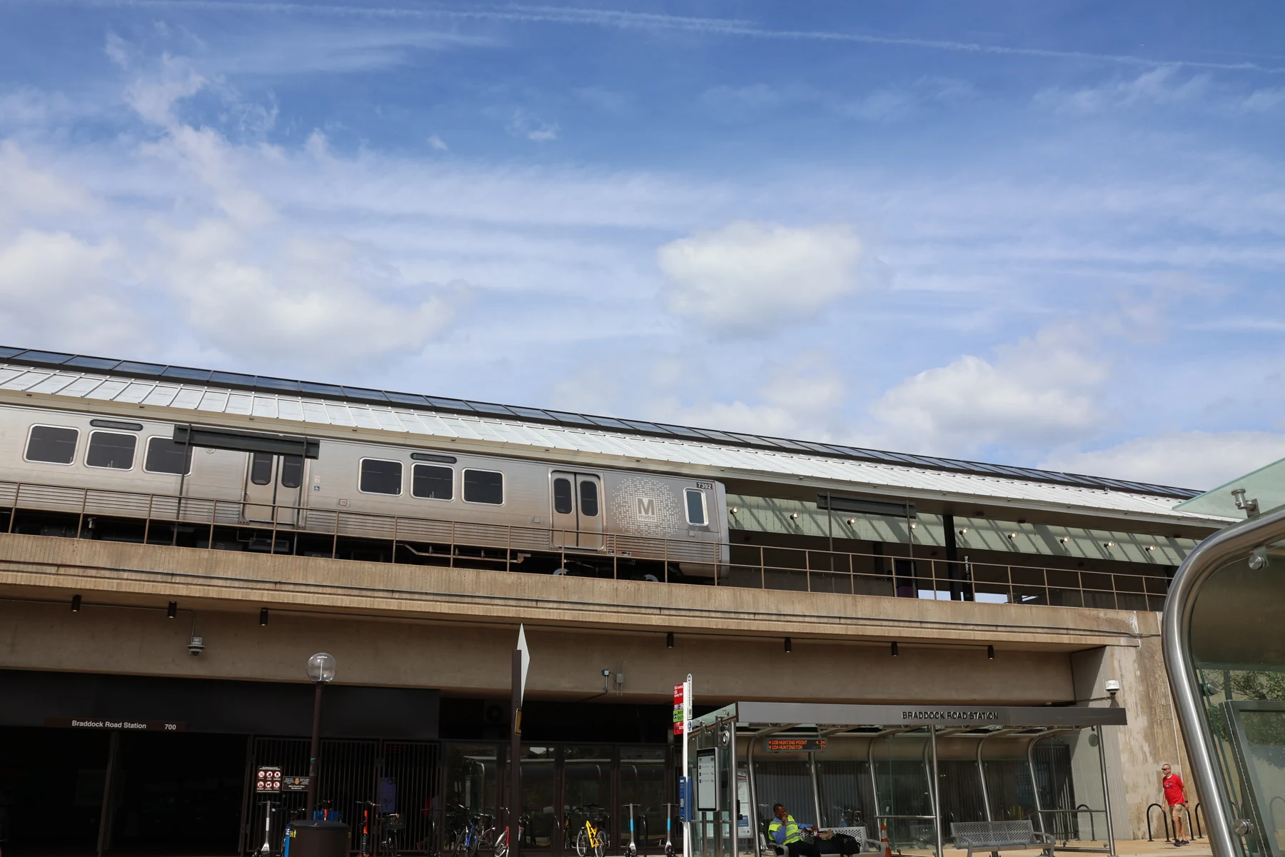
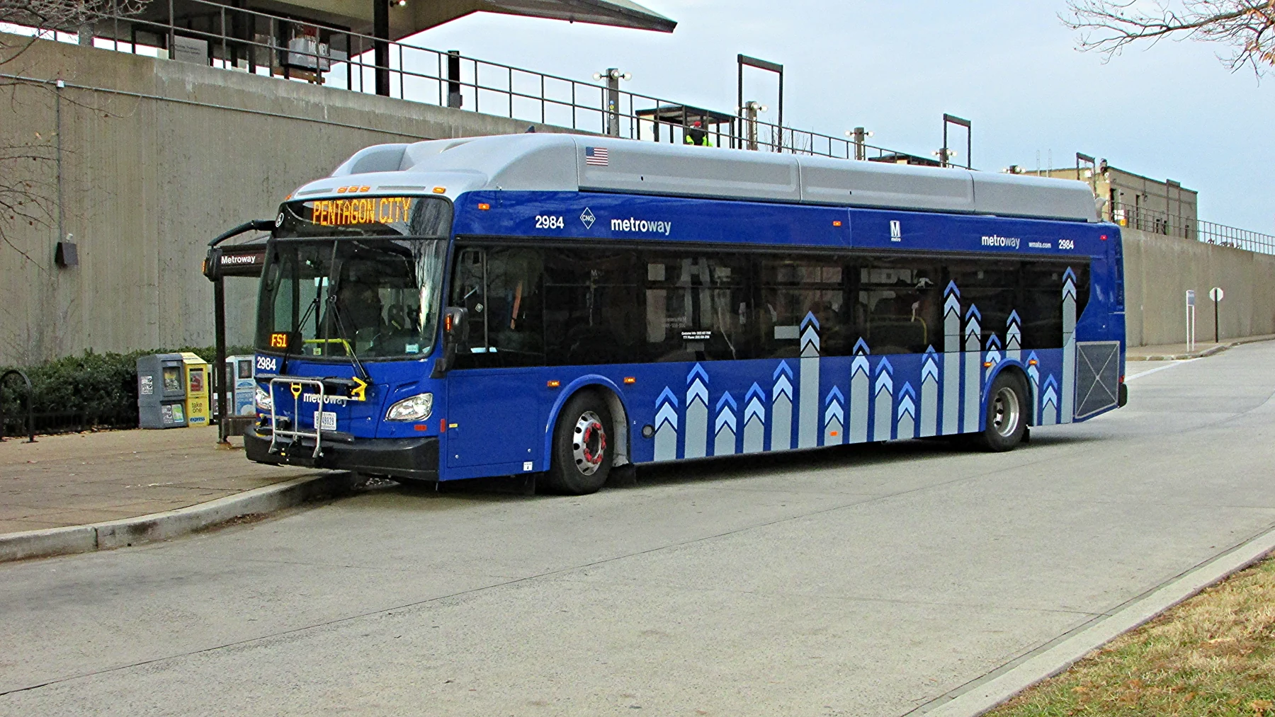
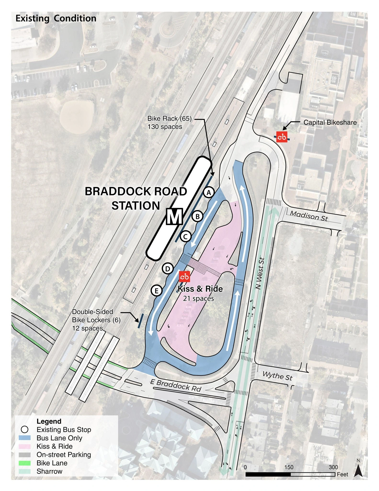
The development property is at 720 North West Street, in the City of Alexandria. On the east side of the elevated station are five bus bays, the bus circulation loop, a 21-space Kiss & Ride facility, bicycle parking and pick-up/drop-off activity. This is not a large commuter Park & Ride garage: WMATA’s existing-conditions description lists no Park & Ride.
Think of the site as a transfer point. Some people arrive on foot or by bicycle, some step off a DASH or Metrobus, and others get dropped off. The design question is how those trips can keep working when the middle of the property has a different use.
The land
Use 3.4 acres for this solicitation.
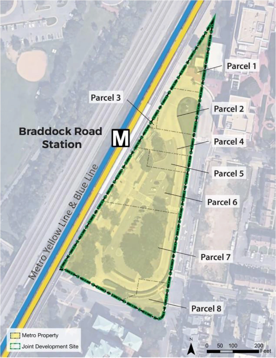
The current RFP markets approximately 3.4 acres; its detailed site description gives 3.42 acres. That is the overall development property, not a promise that buildings can occupy every part of it. Metro’s overview estimates about 1.8 developable acres after accommodating the transportation layout.
Older hearing materials describe approximately 3.6 acres, and the September Board attachment still discusses up to 291,000 square feet of development. The newer solicitation and September announcement use 3.4 acres and approximately 420,000 square feet. No clear official explanation for every difference was found, so this article uses the current solicitation figures rather than combining the older numbers with the new proposal.
What could fit
About 380 residences is planning potential.
WMATA’s current analysis says the property could support approximately 420,000 square feet of development, up to approximately 380 residences and about 21,000 square feet of retail. The detailed illustrative test fit uses 378 homes. Those figures describe a possible program, not apartments available for sale or rent and not a final approved building count.
Metro is looking for active ground-floor uses, usable public space and pedestrian and bicycle connections that tie the development to the station and surrounding streets. Rezoning and a Development Special Use Permit would be needed. Housing mix, affordability provisions, building details and the final amount of retail will depend on the developer’s proposal and subsequent review.
Before and after
The bus loop changes first on paper.
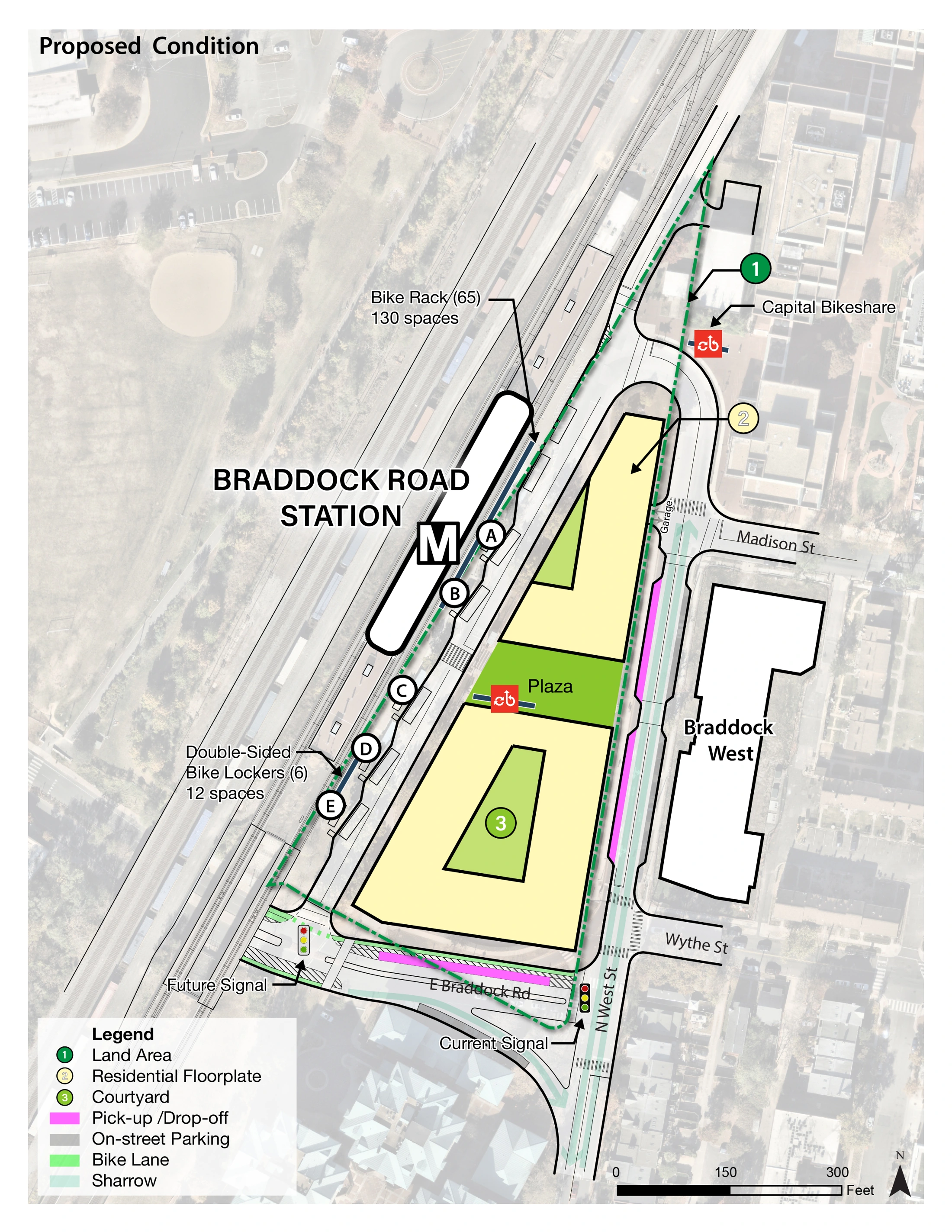
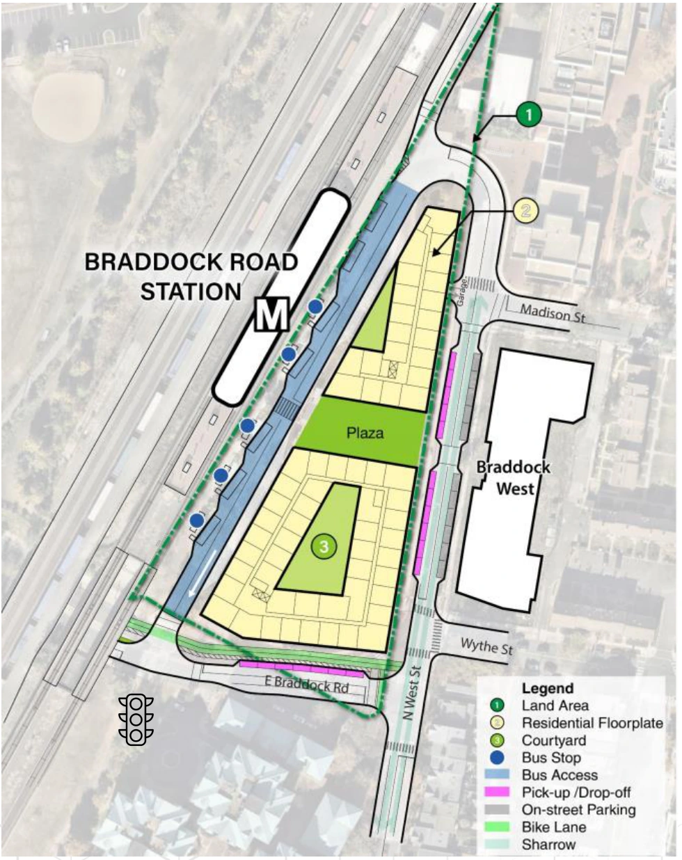
The planned layout replaces the broad recirculating loop with a one-way, bus-only driveway along the station’s eastern edge. Buses would enter from North West Street at the north, serve five replacement sawtooth bays, then leave at a new signal on East Braddock Road. Two separate layover spaces give buses a place to wait between trips; they are not two additional passenger-loading bays.
The existing 21-space Kiss & Ride, taxi and rideshare facility would be eliminated. Pick-up and drop-off would move to curbside spaces along East Braddock Road and North West Street, with the final arrangement coordinated with the City. That changes where cars stop; it does not mean the pick-up/drop-off function disappears.
Removing the internal bus recirculation lane produces a larger, more continuous development area. The RFP confirms Board approval of the hearing report and Mass Transit Plan amendments, but those transit approvals do not approve future residential architecture. The station remains a transit station, and the requirements say existing bus service must remain operational during construction. Detailed staging still matters; this is not a guarantee of no temporary access changes.
Reading the drawing
Illustrative planning concept—not a final building design.
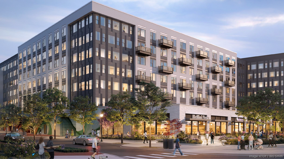
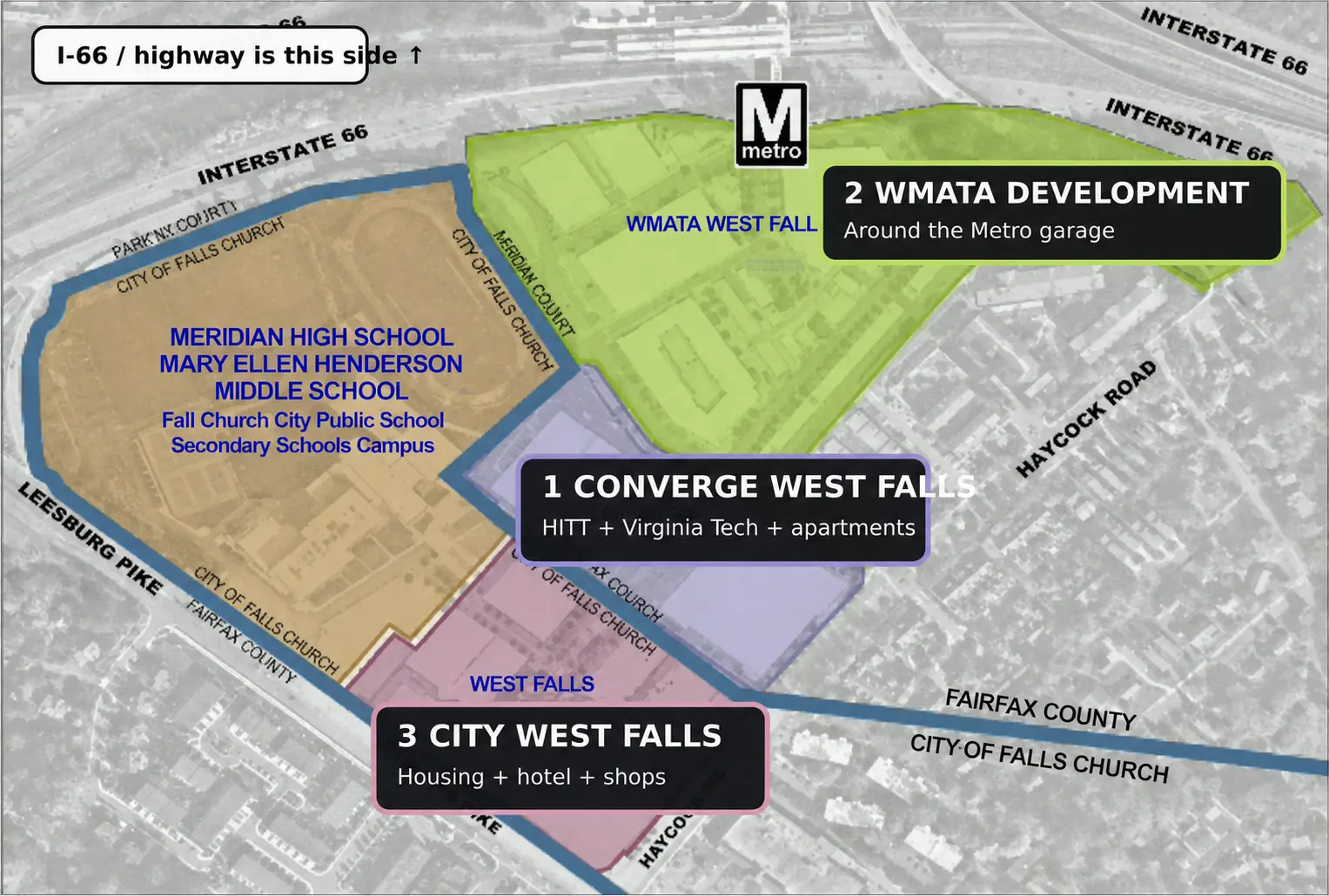
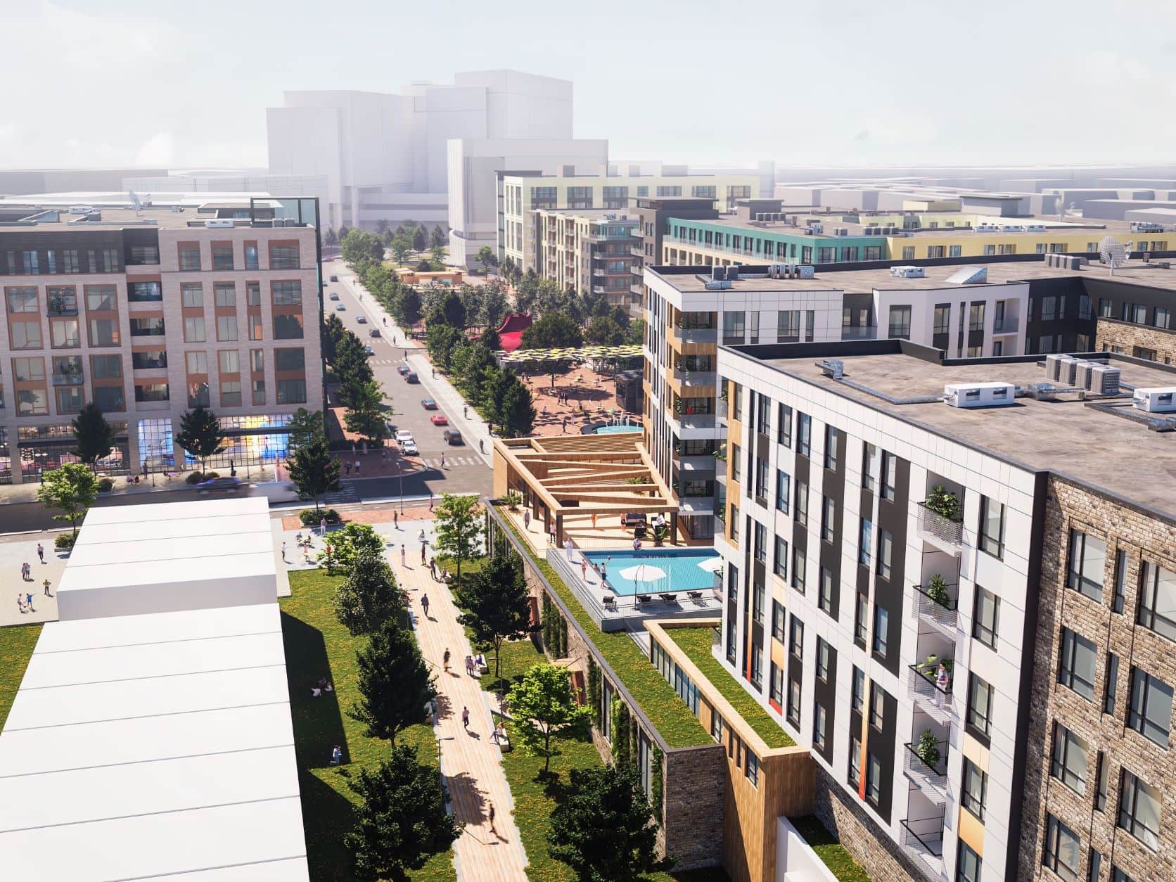
WSP prepared a conceptual test fit in 2025, reproduced in the September 2026 RFP. Its residential floorplates, internal courtyards, central public plaza and station-side transit access test how different uses might share this constrained site. The spaces between the buildings are as important to understanding the diagram as the building shapes.
This is a planning diagram, not a finished architectural rendering. Metro explicitly says developers should not feel bound to this exact site design, density or arrangement. The test fit assumes successful rezoning and a special-use permit. No selected developer’s final building design exists at this stage.
Why here
The rail connection already exists.
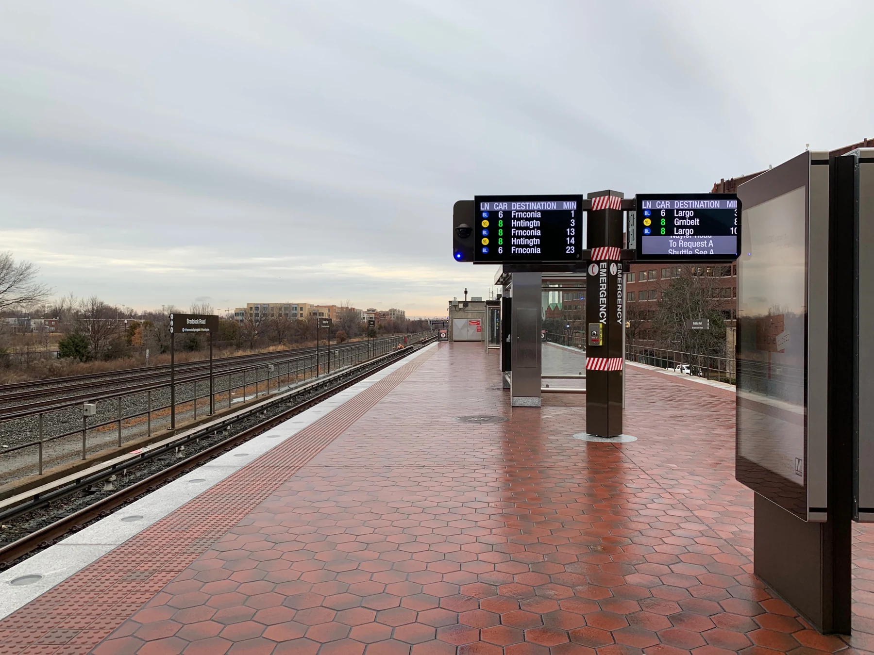
Braddock Road serves the Blue and Yellow lines. Old Town lies nearby to the south and east, while Del Ray and Potomac Yard are north of the station area. DASH and Metrobus connections, bicycle facilities and the surrounding street network give the development more than one way to connect to Alexandria.
That is the practical meaning of transit-oriented development here: adding uses around existing transportation rather than promising a future station. For someone who already uses Braddock Road, useful questions include the walking route from the sidewalk to the faregates, the distance between a bus stop and the station, and whether bike and car-drop-off movements are easy to understand.
A separate City project
Braddock Road itself has another plan.
Alexandria’s Braddock Road Corridor Improvements project covers the street between Russell Road and North West Street. It focuses on traffic safety, trail connections and access to Metro. Conceptual planning finished in spring 2026; the City’s current project page says detailed design is underway, with construction not started and planned for 2027.
The projects meet at the station approach, where curb lines, crossings, bicycle access and pick-up/drop-off space need to work together. Metro’s RFP calls for coordination with the City during design and permitting. But a 2027 City street-construction target is not a 2027 groundbreaking promise for the private Metro-site development.
The calendar
Next comes proposals, then selection and negotiation.
The current solicitation schedule is below. September 24 is the listed pre-proposal conference date; the next listed site visit is October 2 at 11 a.m. These are procurement milestones, not a construction schedule. Dates can change, so check WMATA’s solicitation page for updates.
Developer selection and agreement negotiations are separate milestones. The second quarter of 2027 means April through June; Q2/Q3 negotiations could extend through September. A selection would not by itself establish a construction start or move-in date.
Why this matters locally
As of September 29, 2026, Metro is actively seeking proposals. No developer has been selected, no final building architecture has been approved, and this joint development is not under construction. The meaningful change now is that a transit-layout plan and a public solicitation have turned a long-discussed station opportunity into a concrete developer search.
Sources and further reading
Where the reporting comes from.
This article draws on public records, official statements, and attributed local reporting. Each link opens the original source.
- WMATA: current Braddock Road solicitation and schedule ↗
- WMATA: September 2026 developer announcement ↗
- WMATA: September 2026 Request for Proposals, including site map and test fit ↗
- WMATA: station changes, hearing and environmental materials ↗
- WMATA: September 10 Board authorization materials ↗
- WMATA: replacement transit-facility requirements, Appendix F ↗
- City of Alexandria: Braddock Road Corridor Improvements ↗
- City of Alexandria: Braddock Metro Neighborhood Plan ↗